
Park Trail
Experience views, nature, and history on this tranquil trail through the middle of the Presidio.
Sections of Park Trail and Bay Area Ridge Trail Closed to Dog Walking
Learn More
Experience views, nature, and history on this tranquil trail through the middle of the Presidio.
This trail runs north-south, connecting the 14th Avenue Gate with Cavalry Stables not far from Crissy Field.
You can pick it up at the south end in the Public Health Service District. Once the site of a U.S. Marine Hospital, the area has been transformed into the Presidio’s first LEED-certified green neighborhood.
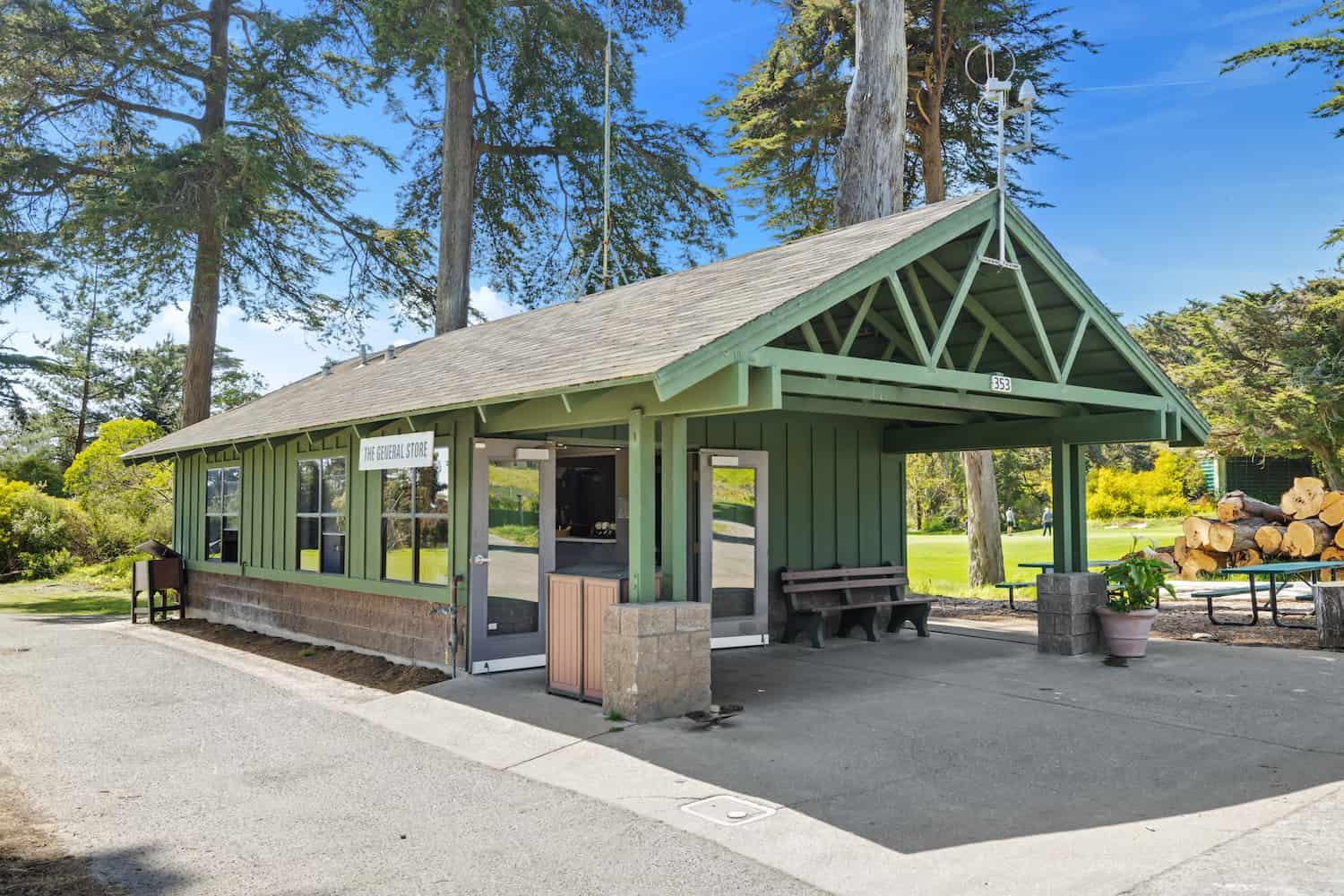
From here, pass through Presidio Golf Course, where you can make a snack stop at the Golf Course General Store.
Next, the nature walk continues beneath the historic forest with towering eucalyptus, Monterey pine, and Monterey cypress planted by the Army in the 1800s. Here you can see ongoing work to replant aging trees with native plants beneath.
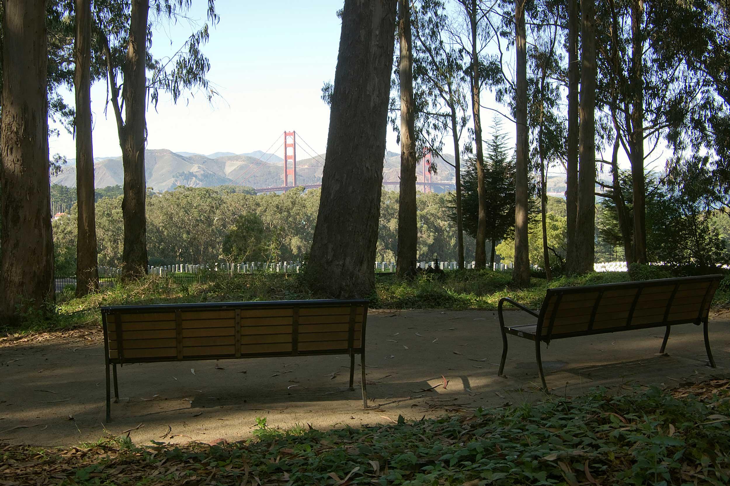
The trail then meets with a short connecting route to the National Cemetery Overlook, a peaceful setting where you can contemplate the service of American soldiers and their families.
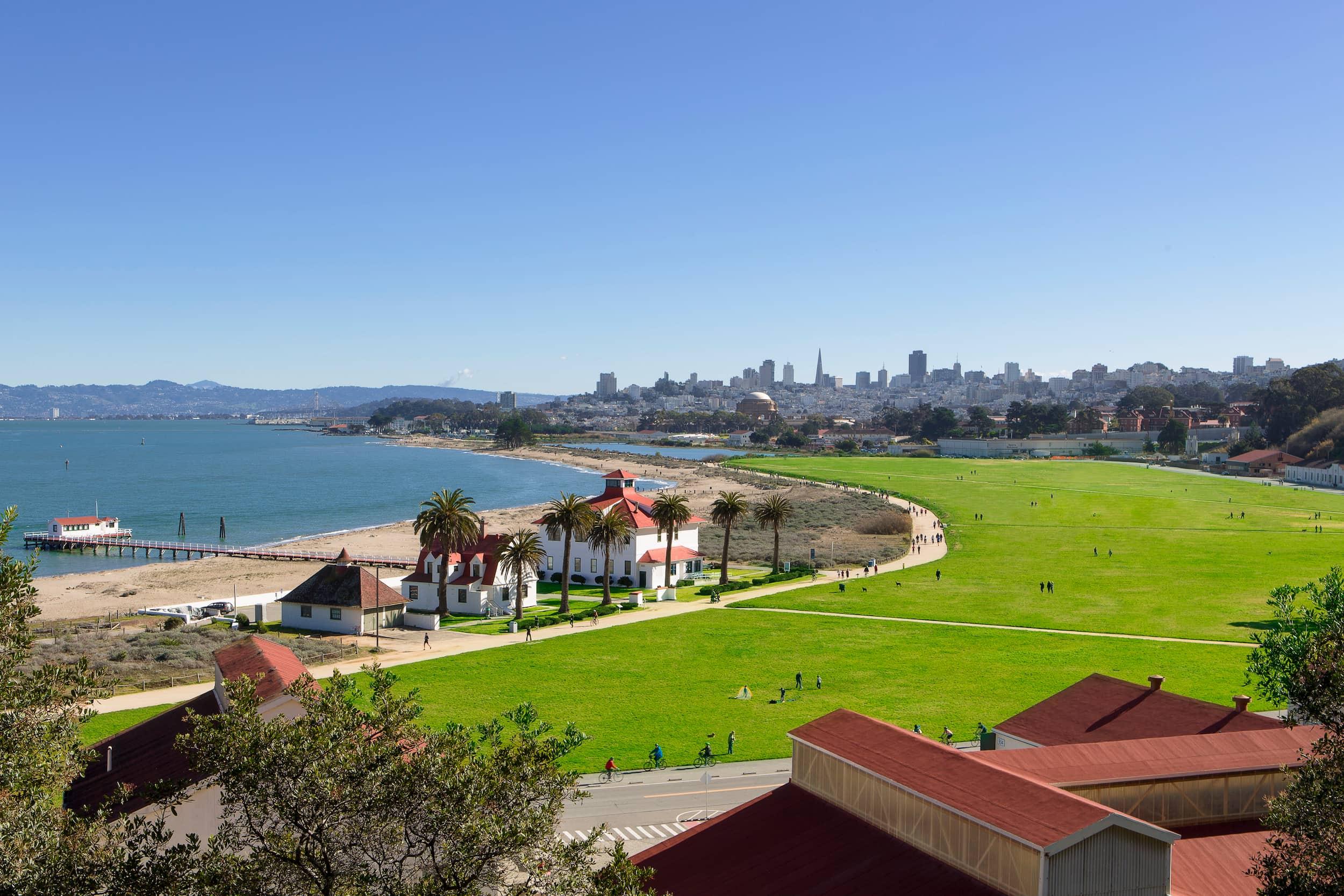
Continue north to reach Cavalry Stables where the horses once critical to military life were housed. From here, you can connect with the east-west Presidio Promenade Trail or continue north to Crissy Field.
Presidio Trails Tip
Restrooms are located at the Golf Course General Store, where you can also pick up a snack and enjoy picnic tables.
1.7 miles (2.6 kilometers)
Easy
Average grade: 6%
Maximum grade: 10%
Average width: 11 feet
Minimum width: 3 feet
Mix of paved, compacted aggregate or wooden boardwalk
40 minutes


Getting to the Park Trail
Park Trail

Trailheads
At the south end, pick up the trail at the near the 14th Avenue Gate. At the north end, pick it up on McDowell Avenue near the Calvary Stables where it intersects with the Presidio Promenade Trail.
Parking & Public Transit
At the south end, paid parking can be found in the Public Health Service District in several lots off Wedemeyer Street. At the north end, limited paid parking is available on McDowell Avenue near the Cavalry Stables. To get to the Presidio by bus or shuttle, visit the Public Transit page.
TAGS
Places Along the Trail

Connecting Trails
Juan Bautista de Anza Trail
Experience four scenic overlooks on this trail commemorating the 1776 journey of the Spanish military commander.
Mountain Lake Trail
This popular nature trail stars San Francisco’s last surviving natural lake – and a whole lot more.
