Lovers Lane Trail
Experience nature and history on San Francisco’s oldest footpath.
Nature lovers, outdoor lovers, art lovers, and history lovers will find something to gush about on this enchanting trail.
It was established in the 19th century as a shortcut used by U.S soldiers for catching transit to visit their sweethearts and families. Today, you can step back in time and follow the very same path.
Choose to start at the south near Presidio Gate or at the north at Presidio Boulevard and Barnard Avenue. An out-and-back trip will include uphill and downhill walking.
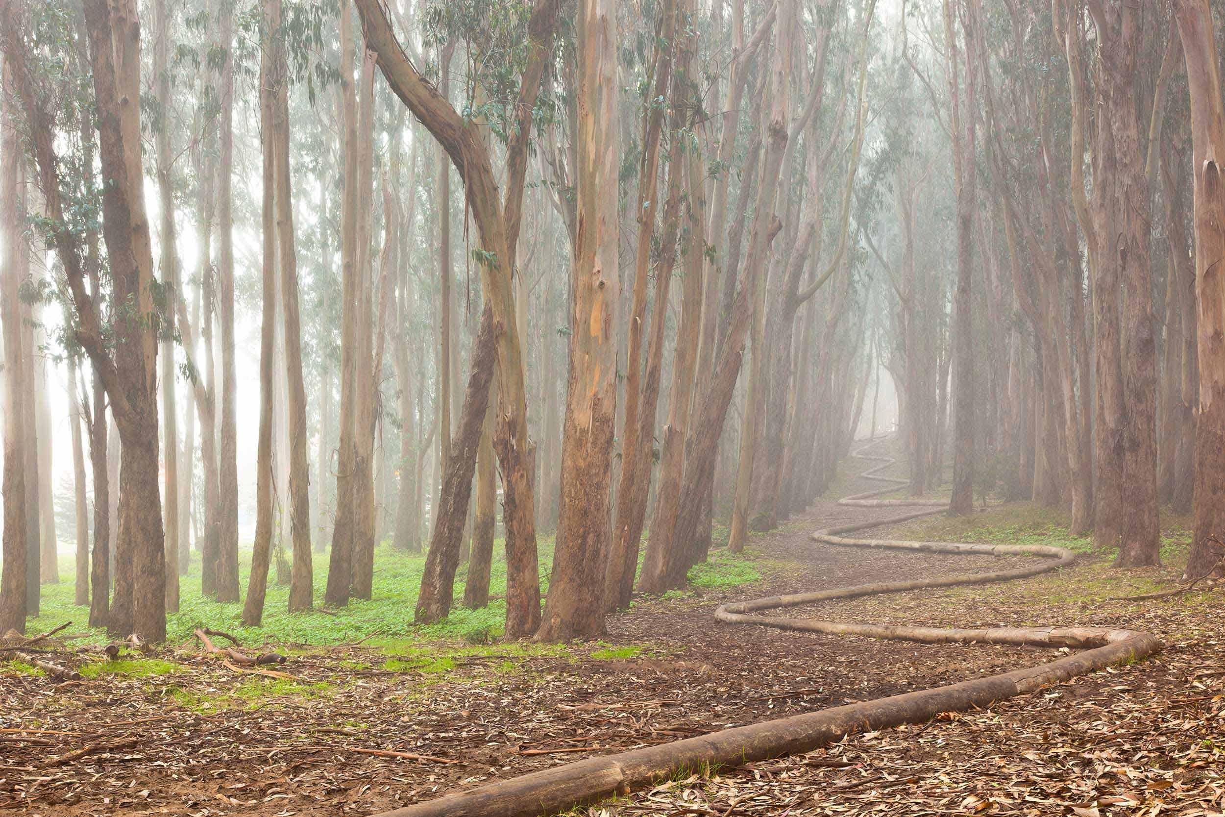
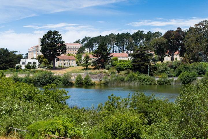
East of the path is a forest of eucalyptus, cypress, and pines planted by the Army in the late 19th century. On the west side, you pass charming homes built by the Army in the 1930s.
Horizontal to Lovers Lane is Andy Goldsworthy’s Wood Line, an art installation in the eucalyptus forest made of felled tree trunks laid end-to-end to create a zigzagging installation that you can stroll on top of – it’s a literal art walk!
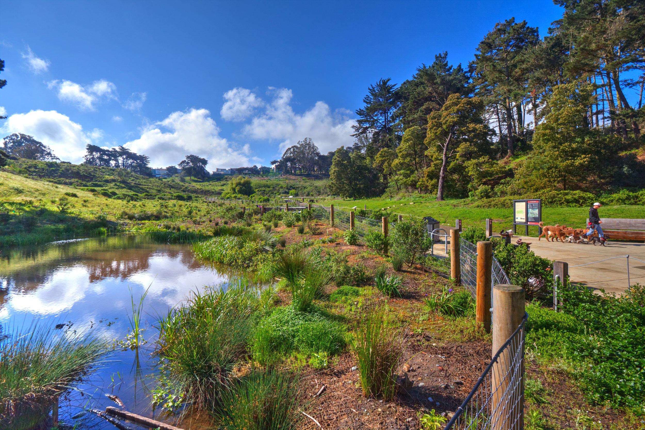
Lovers Lane also crosses a brick footbridge in MacArthur Meadow. Built around 1885, it connects to a newer bridge that leads you through MacArthur Meadow and over the creek running down Tennessee Hollow from El Polin spring.
Presidio Trails Tip
Restrooms are at Presidio Wall Playground and the Presidio Officers’ Club.
0.6 miles (1.0 kilometers)
Moderate
Average grade: 9%
Maximum grade: 21%
Pedestrian only
Paved and boardwalk
30 minutes


Getting to Lovers Lane
Lovers Lane Trail

Trailheads
At the south end, pick up the trail at the Presidio Gate near West Pacific Boulevard. At the north end, pick up the trail at the intersection of Presidio Boulevard and Barnard Avenue.
Parking & Public Transit
Very limited free parking is available on West Pacific Avenue at the south end of the trail. At the north end, consider parking in the paid parking lot near the Presidio Officers’ Club and walking to the trailhead. To get to the Presidio by bus or shuttle, visit the Public Transit page.