
Bay Area Ridge Trail
This section of the Bay Area Ridge Trail runs from the Arguello Gate to the Golden Gate Bridge.
Sections of Park Trail and Bay Area Ridge Trail Closed to Dog Walking
Learn More
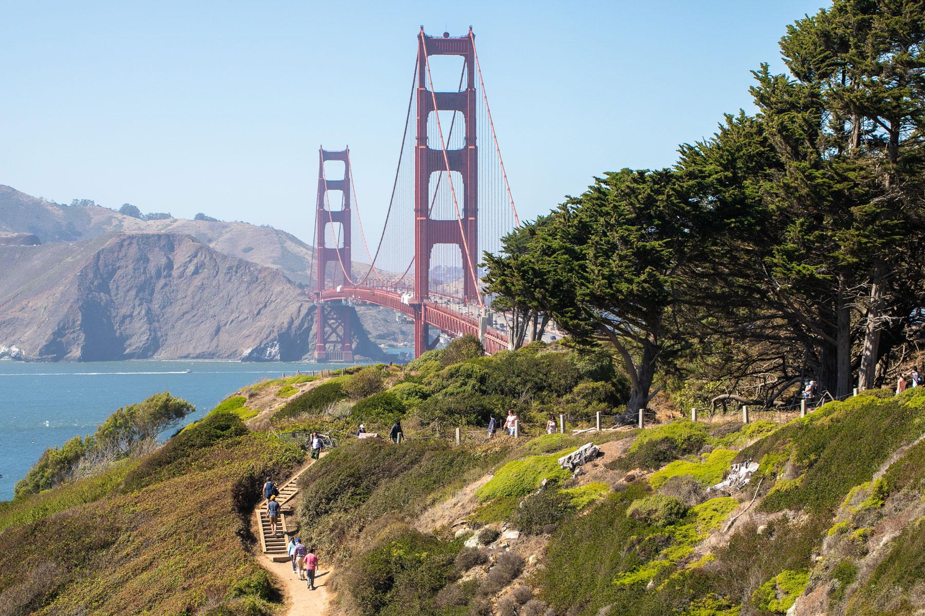
Traverse the Presidio’s highest points for scenic views of the forest, San Francisco Bay, and the Golden Gate Bridge.
Part of a regional trail that runs 550 miles all around the bay, this Presidio section of the Bay Area Ridge Trail links the Arguello Gate to the Golden Gate Bridge, hugging the perimeter of Presidio Golf Course.
There’s a lot packed in along the way. You’ll pass through the Presidio forest and encounter three scenic viewpoints – Golden Gate Overlook, Pacific Overlook, and National Cemetery Overlook.
You’ll also visit several must-see historic and cultural sites, including Andy Goldsworthy’s Spire, a 100-foot sculpture made of felled Monterey cypress trunks. The trail also crosses paths with historic gun batteries, the World War II West Coast Memorial, and Rob Hill Campground.
Presidio Trails Tip
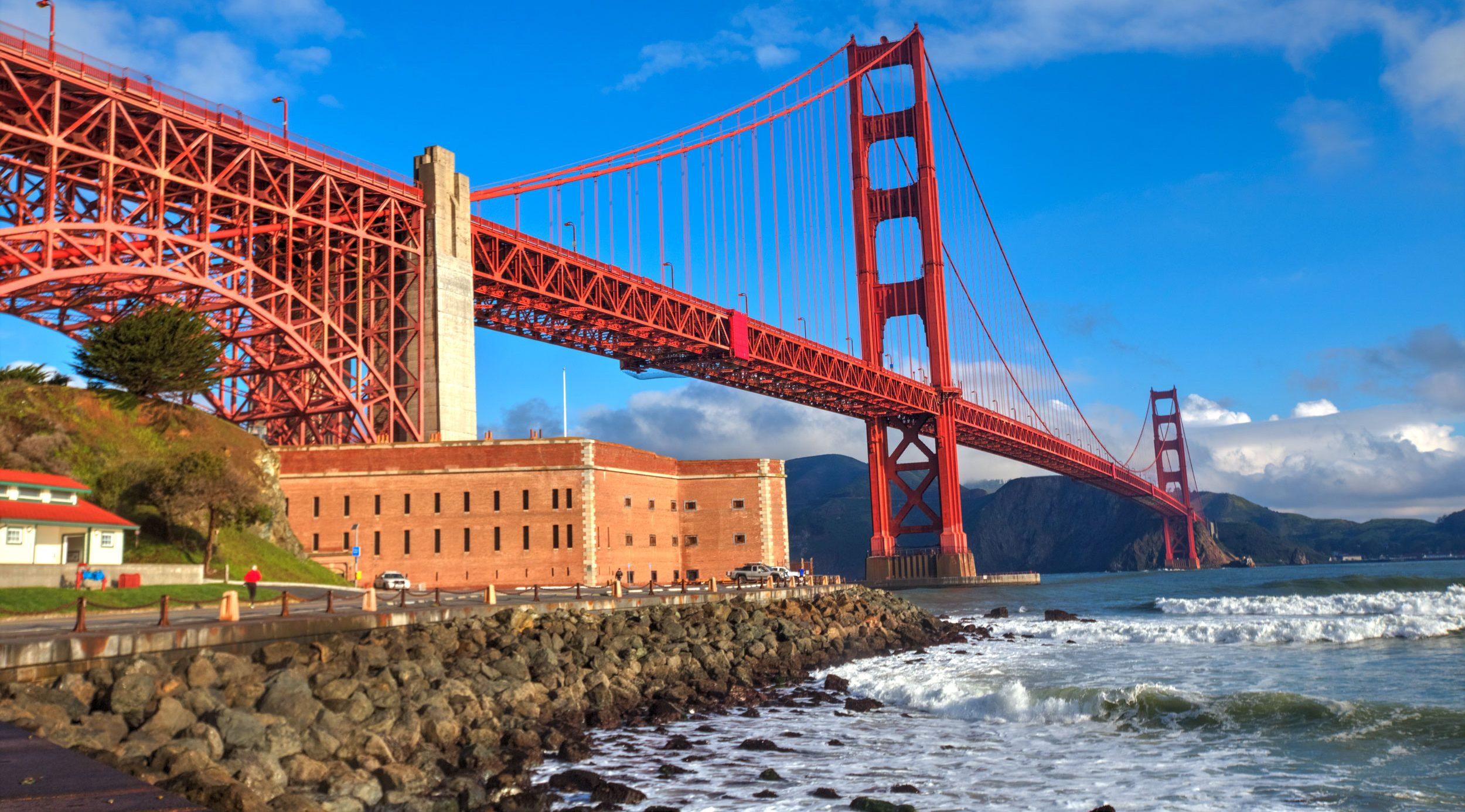
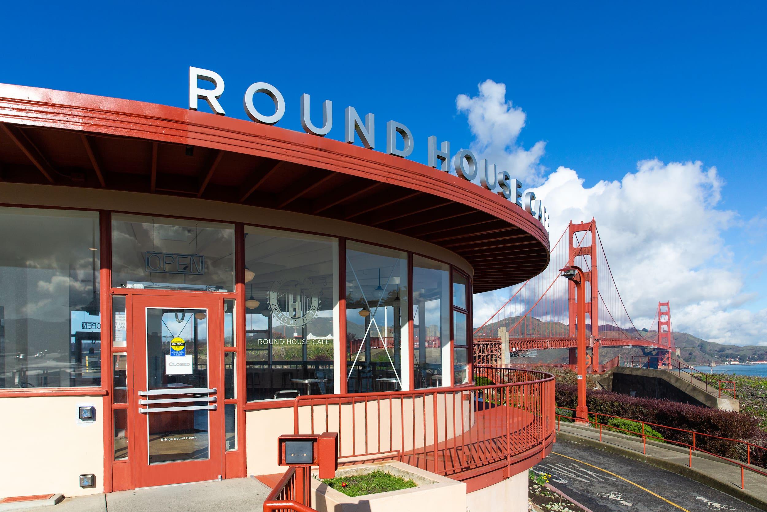
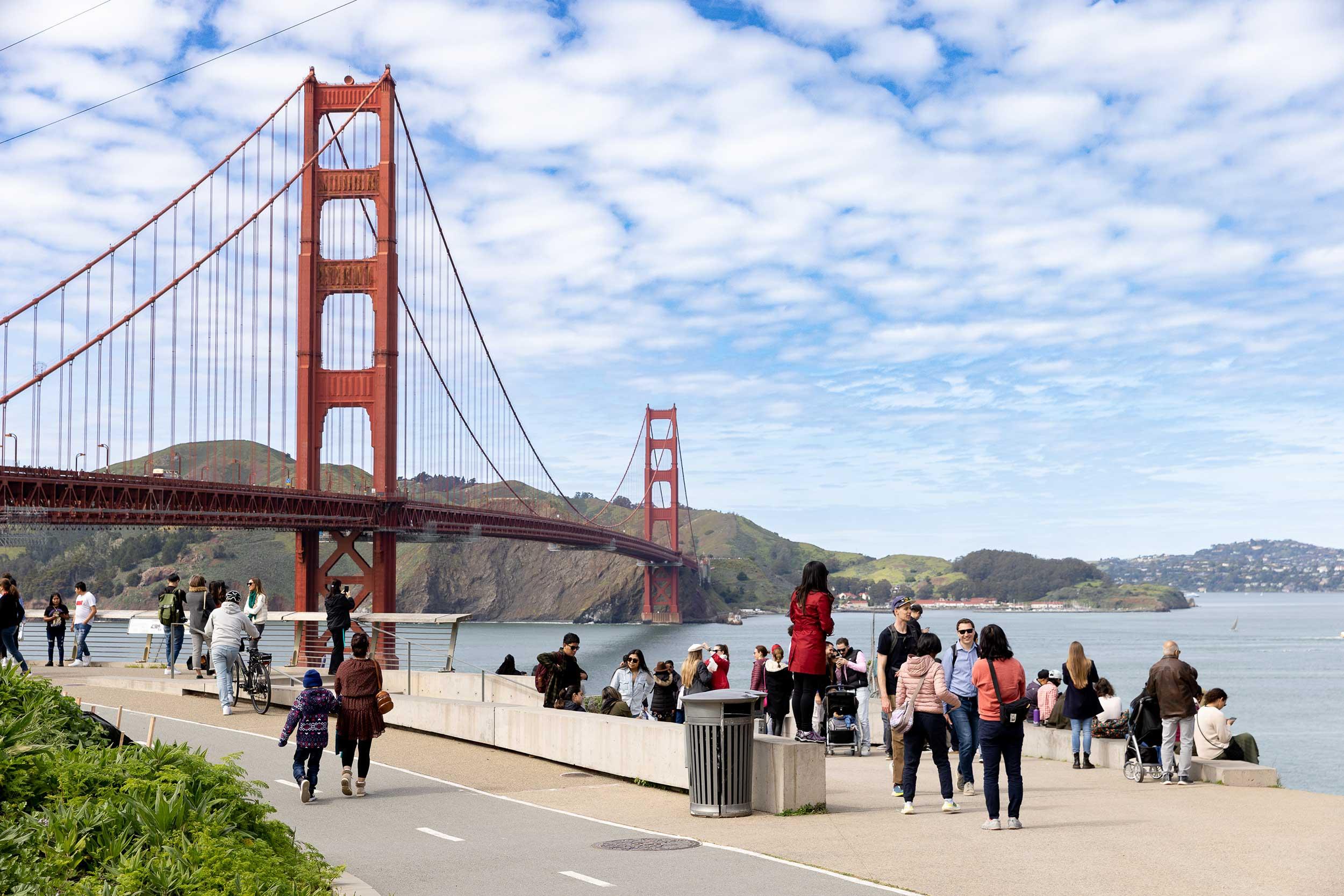
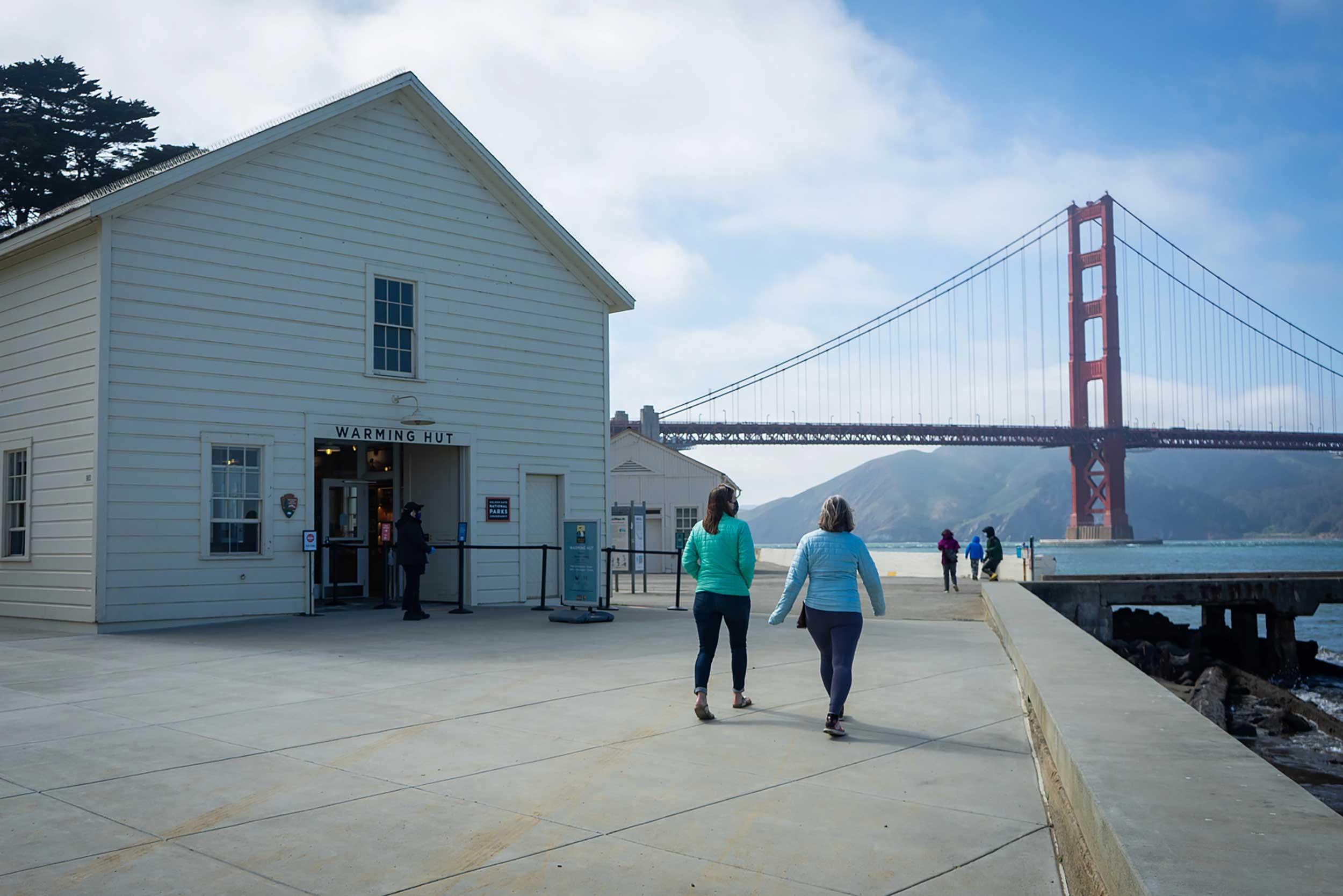
Restrooms and food are located at Presidio Golf Course, the Presidio Golf Course General Store, and the Golden Gate Bridge.
2.5 miles (4.0 kilometers)
Moderate
Average grade: 4%
Maximum grade: 15%
Average width: 8 feet
Minimum width: 3 feet
Trail surface is asphalt and compacted soil.
50 minutes
This trail contains some pedestrian-only sections and splits off for cyclists to use an alternative route. For bikes, follow signage and use In Road Bike Lanes and Bike/Car Shared Lanes during these segments of the trail. On leash dogs are permitted except during coyote pupping season.


Bay Area Ridge Trail Map
Bay Area Ridge Trail

Trailheads
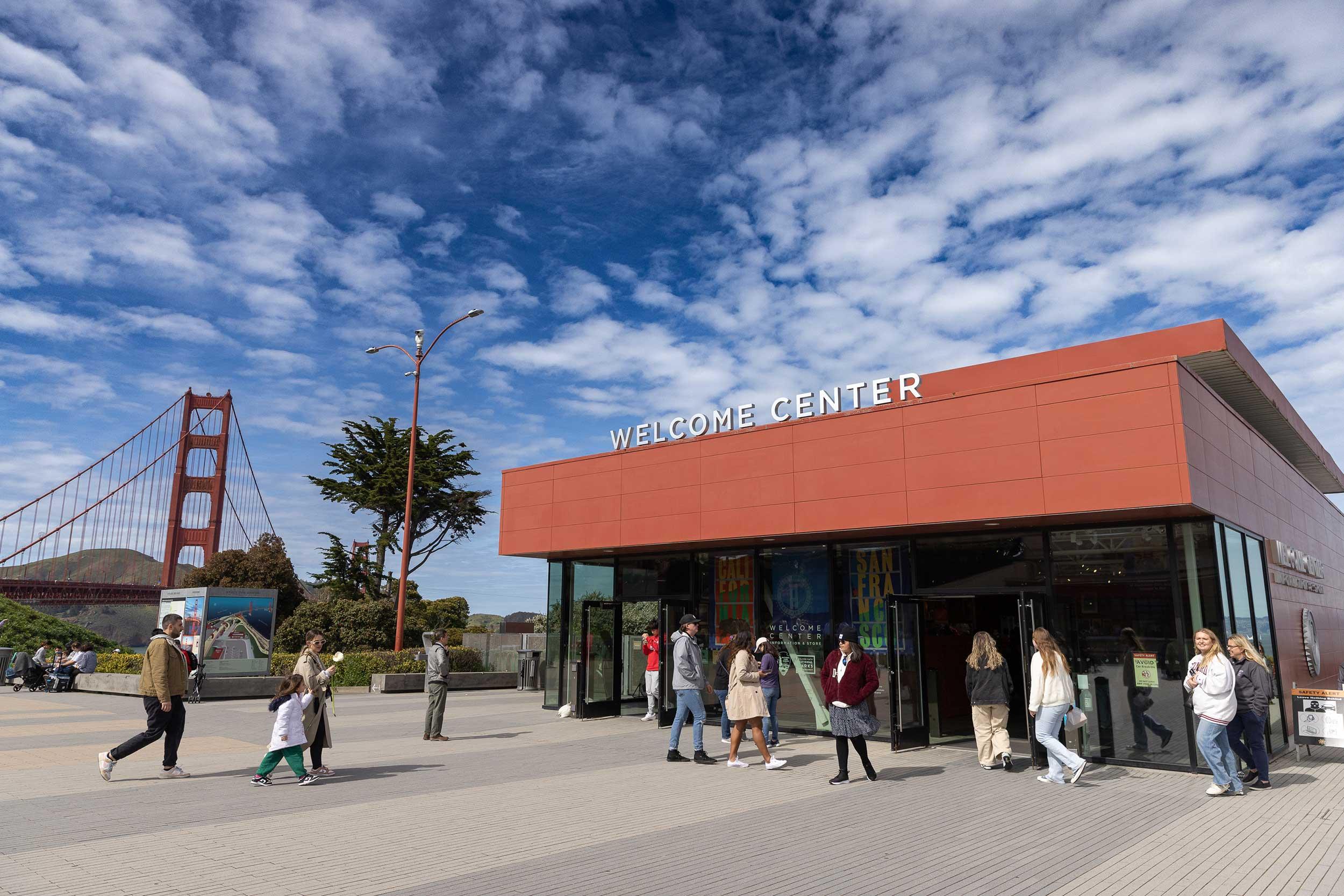
If you start at the south end, pick up the trail next to the entrance of the Presidio Golf Course parking lot, right across from Inspiration Point. At the north end, pick up the trail just northwest of the Golden Gate Bridge Welcome Center.
Parking & Public Transit
At the south end, free parking is available at Inspiration Point Overlook with a three-hour time limit. There is also parking in the Presidio Golf Course lot. At the north end, there are several parking lots near the Golden Gate Bridge. To get to the Presidio by bus or shuttle, visit the Public Transit page.
TAGS
Places Along the Trail

Connecting Trails
Batteries to Bluffs Trail
Experience this short, majestic route that snakes along the park’s rugged western shoreline.
Golden Gate Promenade/Bay Trail SF
Stroll along the San Francisco Bay shoreline for views of the city skyline, the Marin Headlands, and the Golden Gate Bridge.
California Coastal Trail
Walk or bike along a trail that traces the Presidio’s rocky coastal bluffs and ends at the Golden Gate Bridge.

